


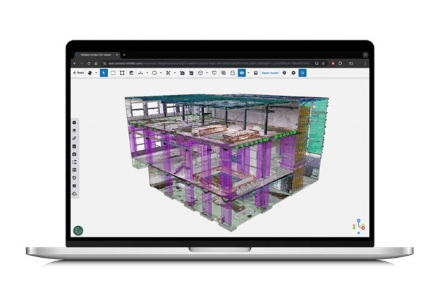
Trimble Connect can now handle the massive datasets associated with reality capture with a new extension.
Trimble’s Reality Capture platform is available as an extension to Trimble Connect and makes datasets from reality capture – such as point clouds and 360-degree imagery from 3D laser scanning, mobile mapping and drones – accessible to a project’s stakeholders.
Trimble integrated Microsoft Azure Data Lake Storage and Azure Synapse Analytics to reduce the time taken to ingest, store and process such huge datasets.
“This new service applies cloud technology in a new way for large data packages, allowing users to significantly scale performance and maximise data value,” said Boris Skopljak, vice-president of geospatial at Trimble. “Anyone can now benefit from accessing complicated reality capture data through a simple web interface, making it easier than ever to leverage geospatial information to drive better outcomes at every step of the design-build-operate lifecycle. With this launch, we are a step closer to realising living digital twins and artificial intelligence applications at scale.”
Christopher Pynn, digital leader at Laing O’Rourke for Eastern Freeway – Burke to Tram Alliance, said: “The new Trimble Reality Capture platform service enables our workforce to more easily access data and collaborate between the job site and office, creating additional efficiencies across our operations. Having a single place for designers, engineers and other stakeholders to review and inspect project data is a real leap forward.”
Trimble Reality Capture is available as a subscription service.
Don’t miss out on BIM and digital construction news: sign up to receive the BIMplus newsletter.


