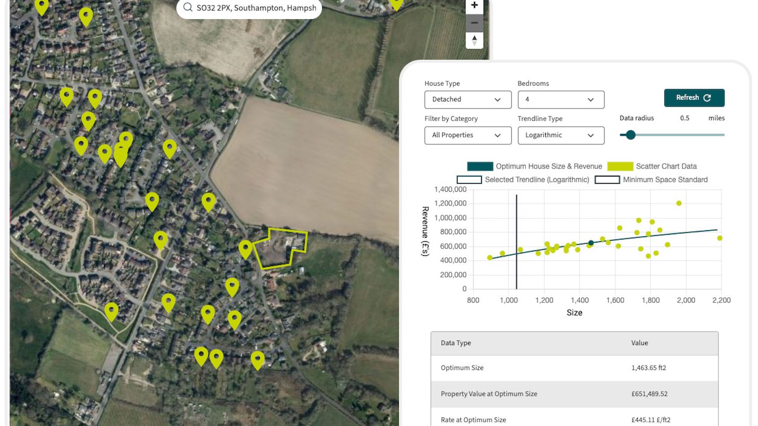
A platform that aims to accurately assess, optimise and de-risk property development for SME developers has been launched. The Viability platform uses Bluesky International high-resolution aerial imagery overlaid on Ordnance Survey and Land Registry data.
Viability claims its software enhances efficiency, reduces costs, and promotes sustainable practices.
Henry Mayell, co-founder and chief operations officer at Viability, explained: “Our platform enables developers to assess a site’s potential, understand what constraints there could be, in order to build a picture of risk and run financial analysis. With significant investment at stake, it is important they can make decisions based on accurate data.”
He added: “We initially applied satellite imagery to the platform, but quickly found that the quality wasn’t sufficient for our customer requirements. As a result of the feedback, we started testing aerial imagery from Bluesky on Viability, which offered significant improvements in terms of image resolution and accuracy.
Ralph Coleman, chief commercial officer at Bluesky, said: “Our aerial imagery offers the detail needed for developers to begin plotting optimal scheme designs for potential sites. We are supplying Viability with the imagery via our GeoStream service, which launched last year. GeoStream is our new data-as-a-service offering, which enables customers who need data from us on a regular basis to access it quickly and easily via an API.”
Viability has also incorporated biodiversity net gain assessments into its platform.
Three months ago, Viability raised more than £500,000 in funding from private backers, HM Land Registry and Innovate UK.
Don’t miss out on BIM and digital construction news: sign up to receive the BIMplus newsletter.


