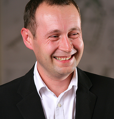
Cities worldwide are developing intelligent 3D models to help streamline urban masterplanning and gauge the impact of new developments and public services. Nick Edwards, urbanist principal at architect BDP, explains the latest thinking and how models could evolve in future.
Cities such as Helsinki, Hamburg, Chicago and Singapore have developed smart 3D models to help improve their processes. What are the advantages?
They can be great tools for analysis, it’s possible to place a 3D model of a proposed new building into the city model and calculate the impacts on factors like wind movement, traffic, energy, utilities demand, waste and sunlight. You can analyse the incline and orientation of roofs to calculate the potential to generate solar power.
It is possible to overlay public spaces with mapping of air and noise pollution, and sunlight paths to see if they perform well. The more parameters you overlay the more insights it is possible to extract.
3D city models can also provide quantitative benefits, they can help residents directly engage with proposed development to commenting on visual impact, the amount of parking or the amount of open space included.
Helsinki is developing an interaction platform for city planning that will enable citizens to press buttons to, for example, indicate that they want more parking, or less parking, or more parks. It then identifies options that best fit their requests and the data is passed to the Helsinki city planning employees to inform design decisions.
Is that degree of public engagement always beneficial?
Not always. In a UK context people will often want more parking facilities and this can have a negative impact on noise and pollution. They might want more public space or lower densities without necessarily appreciating that this might push people further apart and reduce the overall efficiency of local services.
Sometimes less is more and a smaller amount of space that’s better designed and managed might produce a better overall outcome.
Will city models become a key design tool for architects in future?
The ability to illustrate your scheme and its impacts within the context of a broader model would be an incredibly powerful tool that could also help avoid duplicating information.
The way the industry currently works can result in numerous design and development projects procuring separate topographic surveys and utilities surveys for the same areas, people are mapping things that someone else has mapped before. It’s such an inefficiency.
Capturing all that data in a single city-wide model has to be a great thing for Great Britain plc.
Is funding the development and maintenance of 3D city models a challenge?
Yes, this type of model has the potential to be very beneficial for many local authorities, but the challenge is resource, there needs to be some higher level thought on how they are financed. The public sector in the UK would struggle to take the lead and find the budgets required to put in train detailed models for every council.
The City of London has produced an advanced model which it is using in practice, but it has a very different demographic and method of raising funds. It feels like the biggest inroads are going to be for private landowners or developers of larger schemes who see the value and can justify investing in the technology.
What role could advanced tech like the Internet of Things and sensors have on city models in future?
It is not an unrealistic expectation to think that models will include live data feeds from sensors in buildings and infrastructure to give a detailed picture of various city functions.
One potential issue is data privacy, by default parts of the private sector are in competition and many will be unwilling to share their information.
If the public sector can take the lead and help unlock some the less sensitive data, in a collective and collaborative way, there could be benefits for everyone, including society as a whole.
Image: Cities like Chicago are producing 3D models to help masterplanning Juliengrondin/Dreamstime

It is possible to overlay public spaces with mapping of air and noise pollution, and sunlight paths to see if they perform well. The more parameters you overlay the more insights it is possible to extract.– Nick Edwards, BDP
Comments
Comments are closed.


Thank you for this great article, I fully agree that a central, accessible 3D Model of London is desperately needed. We are actively working on 3D Model of London that is almost entirely industry funded that could very soon become the “standard” 3D Model as it is available in a platform neutral formats and at affordable rates. Michal, AccuCities