


The Crown Estate has revealed details of its geospatial project mapping the UK seabed.
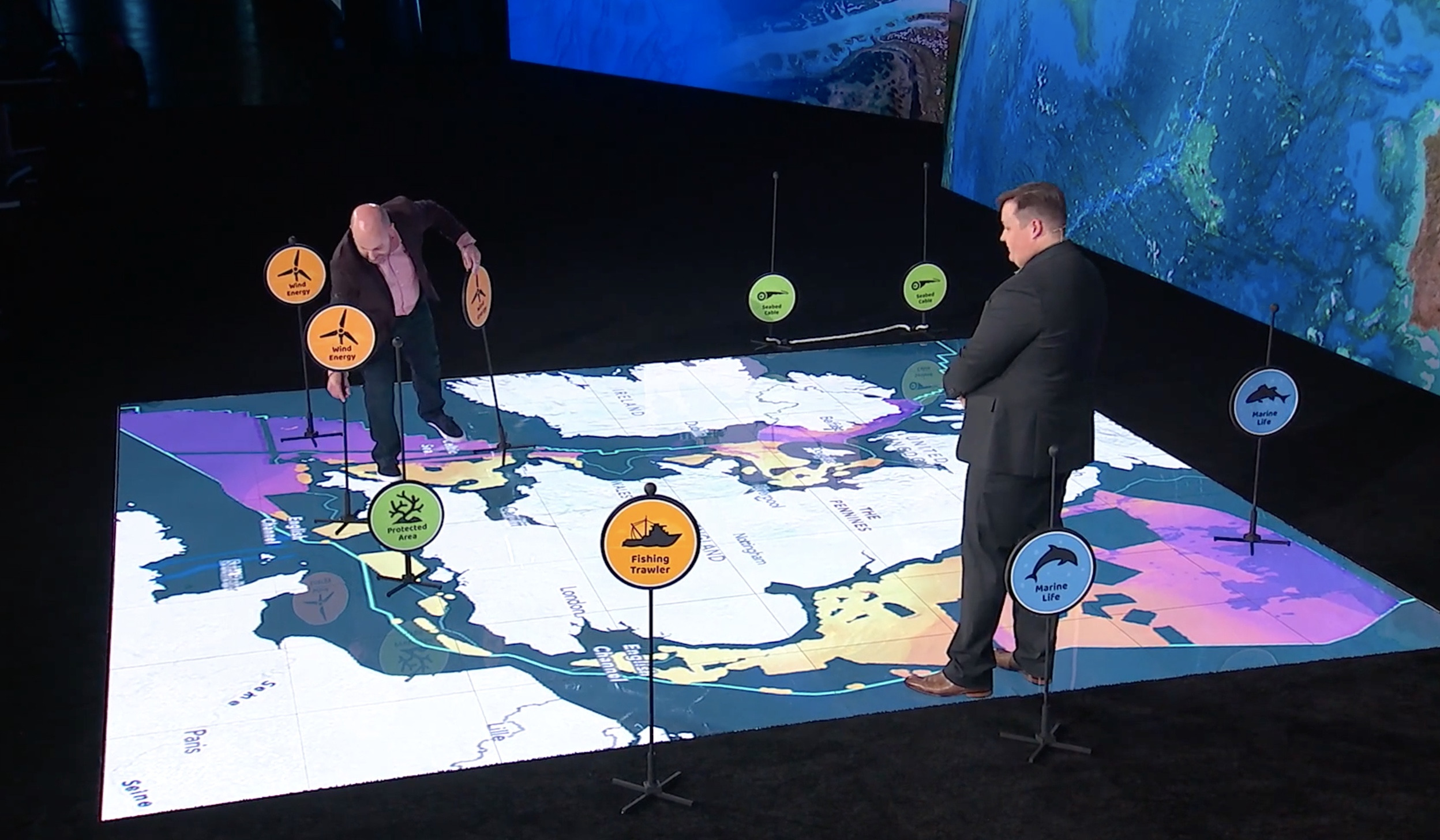
The Crown Estate’s marine and digital teams have developed a spatial planning system to help determine seabed use around England, Wales and Northern Ireland up to 2050.
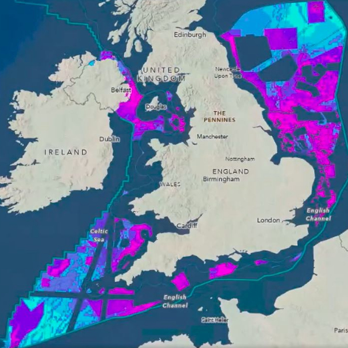
The project is using Esri’s GIS (geographical information system) for mapping.
The planning system collects data from 250 sources across 10 sectors. It weighs demand on the seabed from sources including offshore wind, carbon capture, telecoms and minerals, against protecting nature.
Different scenarios are considered and compared in a dashboard to understand their impact.
The Crown Estate has an internal remit to ensure environmental, industrial and social interests and constraints are equally considered.
Crown Estate spatial planning director Michelle Moore said: “With an increasingly busy seabed, it is critical that development decisions are based on robust data and evidence.
“Advanced Esri spatial analysis tools allow us to tackle complex, multidimensional problems in an open and transparent way.
“Our unique ability to plan for the long-term and convene a wide range of stakeholders, helps us to balance all interests to achieve the best outcomes for net zero, nature and economic growth.”
Clean energy delivery
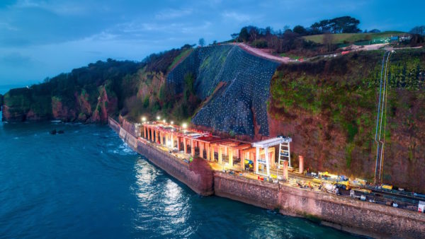
This follows an announcement that the Crown Estate, which manages a portfolio worth £16bn, has entered a partnership with the new state-backed GB Energy to help deliver clean energy.
The partnership will help create new offshore wind farms and has potential to attract up to £60bn in private investment.
Managing director for marine, Gus Jaspert, said: “Geospatial innovation is helping the Crown Estate balance a green energy transition to net zero and nature recovery whilst creating a thriving marine economy.
Jaspert added the project was delivering, “world-leading work in spatial analysis using Esri software, and [was] a demonstration of our ongoing investment in digital technology and skills”.
“It helps make sense of highly complex and competing demands on the seabed, driving better planning decisions for the benefit of the nation for years to come.”
Esri UK managing director Pete Wilkinson said: “The Crown Estate’s approach is a best-in-class example of how geospatial expertise can deliver valuable outcomes. True innovators in marine spatial planning, the team’s work is of national importance.”
Don’t miss out on BIM and digital construction news: sign up to receive the BIMplus newsletter.
Comments
Comments are closed.


No comment about how offshore wind farms can be planned without piecemeal connections to land that result in many kilometres of pylons that are destructive to the natural world on land both during construction and their lifetime. Some discussion on planning an effective forward thinking offshore grid linking up these offshore wind farms as is being pursued elsewhere in the world would have been useful. Once we have impacted nature with outdated pylon technology it’s gone for good.